This is a list of the extreme points of the Netherlands, the points that are farther up, down, north, south, east or west than any other location.
European part of the Netherlands
- Northernmost Point — Rottumerplaat (53°33′18″N 6°28′41″E)
- Northernmost Point (mainland) — Noordkaap (53.465278°N 6.745556°E / 53.465278; 6.745556 (North (mainland): Noordkaap))
- Southernmost Point — boundary marker 12 along Rue de Beusdael, near Kuttingen in the municipality of Gulpen-Wittem, Limburg (50°45′01.5″N 5°54′54.0″E)
- Westernmost Point — Sint Anna ter Muiden (51°18′57″N 3°21′30″E)
- Easternmost Point — Bad Nieuweschans (53°10′49″N 7°13′40″E)
- Highest Point — Vaalserberg (327.5 m above sea level) (50°45′17″N 6°01′15″E)
- Lowest point — Zuidplaspolder near Nieuwerkerk aan den IJssel (6.76 m below sea level) (51°59′09″N 4°37′54″E)
Netherlands
When in the list above the special municipalities in the Caribbean are included, the western- and southernmost points change to locations on the island Bonaire, whereas the highest point is on the island Saba. The approximate locations are:
- Westernmost Point — west of Lake Goto (12°17′2″N 68°24′52″W)
- Southernmost Point — Willemstoren Lighthouse Bonaire (12°1′26″N 68°14′52″W)
- Highest Point — Mount Scenery (870 m above sea level) (17°38′06″N 63°14′21″W)
Kingdom of the Netherlands
When all countries of the Kingdom of the Netherlands are taken into account, the southernmost point moves to Curaçao and the westernmost point moves to Aruba.
- Southernmost Point — Klein Curaçao, Curaçao (11°58′42″N 68°38′37″W)
- Westernmost Point — Divi village, Aruba (12°32′24″N 70°3′48″W)
See also
- Extreme points of Earth
- Geography of the Netherlands
Gallery
External links
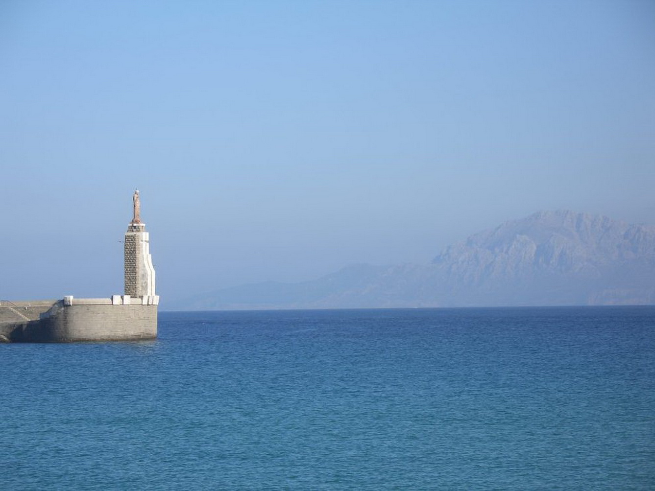
- Most northern point on the continent of the Netherlands


.jpg)