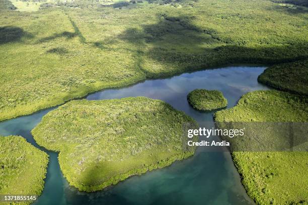
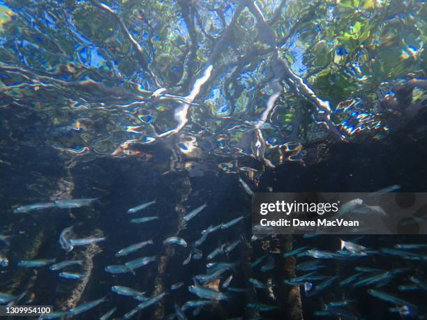
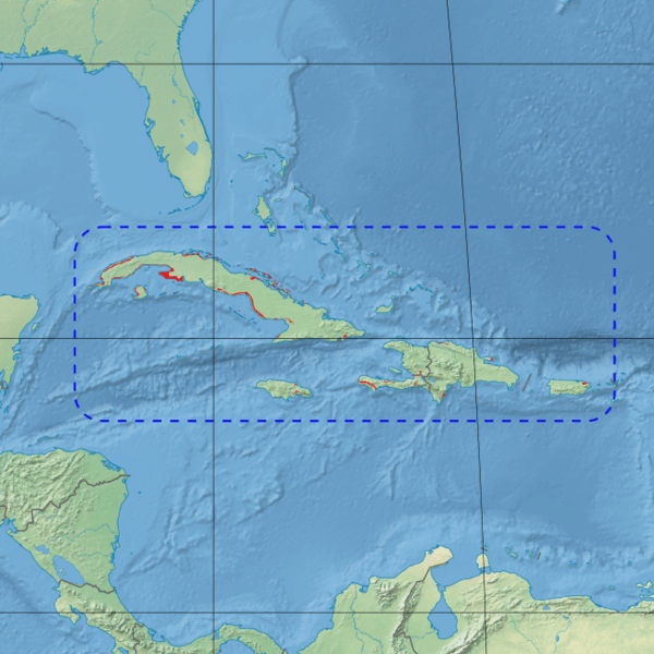
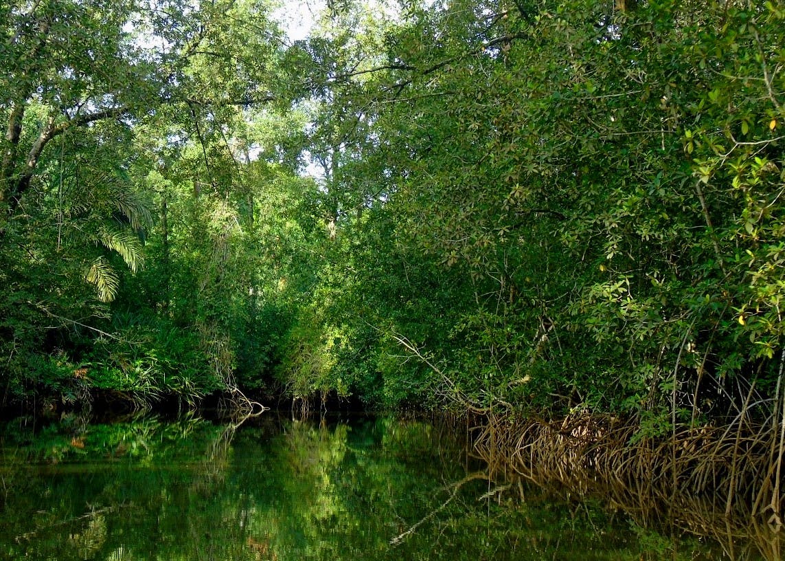
The Greater Antilles mangroves is a mangrove ecoregion that includes the coastal mangrove forests of the Greater Antilles – Cuba, Hispaniola, Jamaica, and Puerto Rico.
Geography
Mangroves are estimated to cover 5,569 km2 in Cuba (or 4.8% of the country); 134 km2 in Haiti; 325 km2 in the Dominican Republic; and 106 km2 in Jamaica.
Some ecoregion systems include the Greater Antilles mangroves, Bahamian mangroves, and Lesser Antilles mangroves within a single Bahamian-Antillean mangroves ecoregion.
Protected areas
30.5% of the ecoregion is in protected areas. These include the Zapata Swamp in Cuba, La Cahouane and Three Bays Protected Area in Haiti, Los Haitises National Park in the Dominican Republic, and the Piñones State Forest and Jobos Bay National Estuarine Research Reserve in Puerto Rico.
References
External links
- "Greater Antilles mangroves". Terrestrial Ecoregions. World Wildlife Fund.
- Bahamian-Antillean mangroves (DOPA)
- Greater Antilles mangroves (Encyclopedia of Earth)
.jpg?itok=0VSFiKPy)